
Southern California Airports
 Large hub airports in southern California include
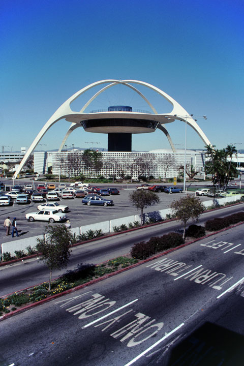
the Los Angeles International Airport and
the San Diego International Airport.
The largest of these, Los Angeles International, processes about
30 million boardings per year.
Large hub airports in southern California include
the Los Angeles International Airport and
the San Diego International Airport.
The largest of these, Los Angeles International, processes about
30 million boardings per year.
Other major southern California airports include the Fresno Air Terminal, the Mc Clellan-Palomar Airport in Carlsbad, the Meadows Field Airport in Bakersfield, the Monterey Peninsula Airport, the Palm Springs International Airport, the San Jose International Airport, the San Luis Obispo County Regional Airport in San Luis Obispo, the Santa Barbara Airport, and the Santa Maria Public Airport.
FAA Southern California Airport Locator Map
This southern California airport map shows commercial service airports, reliever airports, and general aviation airports in southern California. Primary airports are designated with an airplane symbol.

Copyright © State-Maps.org. All rights reserved.
California airport map source: FAA 2001-2005 NPIAS.
California airport map source: FAA 2001-2005 NPIAS.