
Los Angeles Airports
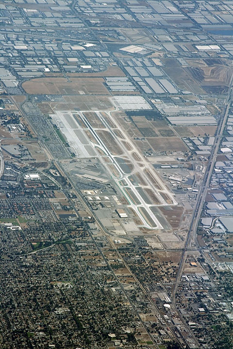 The primary airport in the Los Angeles, California area is
the Los Angeles International Airport.
Los Angeles International processes about 30 million boardings per year.
The primary airport in the Los Angeles, California area is
the Los Angeles International Airport.
Los Angeles International processes about 30 million boardings per year.
Other major Los Angeles area airports include the Burbank Bob Hope Airport, the John Wayne Airport in Orange County, the Long Beach Airport, the Mc Clellan-Palomar Airport in Carlsbad, the Ontario International Airport, the Oxnard Airport, and the Palm Springs International Airport.
FAA Los Angeles, California Airport Locator Map
This Los Angeles, California airport map shows commercial service airports, reliever airports, and general aviation airports in the Los Angeles area. Primary airports are designated with an airplane symbol.

Copyright © State-Maps.org. All rights reserved.
California airport map source: FAA 2001-2005 NPIAS.
California airport map source: FAA 2001-2005 NPIAS.